

It will be at least until next Monday, July 29th when South Carolina can expect a high-pressure system to take over and bring stable weather and more sunshine. Until then, several low-pressure systems and stationary fronts will remain either parked over the state or close enough to produce numerous showers and thunderstorms.
The main threats with the unsettled weather will be frequent lightning and torrential downpours that could produce flooding. There is not a significant risk for severe weather but know that some of the storms could grow to be quite strong and perhaps isolated severe ones could form due to local effects such as daytime heating and the sea breeze closer to the coast.

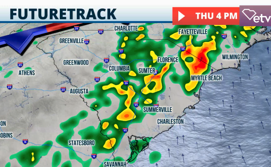


Everywhere else in the state, numerous showers will continue to fall, becoming more pronounced in the afternoons. Keep in mind that showers are also fair game some mornings too. Rainfall totals through Sunday evening will range between 1.5 to 3 inches generally for much of South Carolina. Central and northern South Carolina will receive closer to 4 inches. These are long-range, general rain totals, but some daily storms could drop similar amounts of rain in short times.
These daily isolated high amounts will cause trouble, especially for areas suffering from the most intense drought. As we discussed last week, 99% of South Carolina is suffering from at least an abnormal drought, with 73% of the state having abnormally dry conditions, 36% under a severe drought, and 6% extreme drought, focused mainly on the Pee Dee. When the ground is dry, it simply can’t drain rainfall or runoff efficiently causing more flooding, increasing rapidly the floodwater levels.

Make sure you stay away from flooded roads. Remember to turn around, don’t drown. Only 6 inches of running water can cause your vehicle to stall and 12 inches could make a small vehicle to float.