

A powerful cold front is forecast to sweep across the state by Thursday, ushering in the coldest air mass of the season just in time for Halloween.
Before the frontal boundary pushes through, scattered rain chances will lead to the potential of 1-2 inches in the heaviest spots.
Behind the front, clearing conditions are expected to take place from west to east as winds shift to the west and northwest, which will help usher in drier and much cooler air.
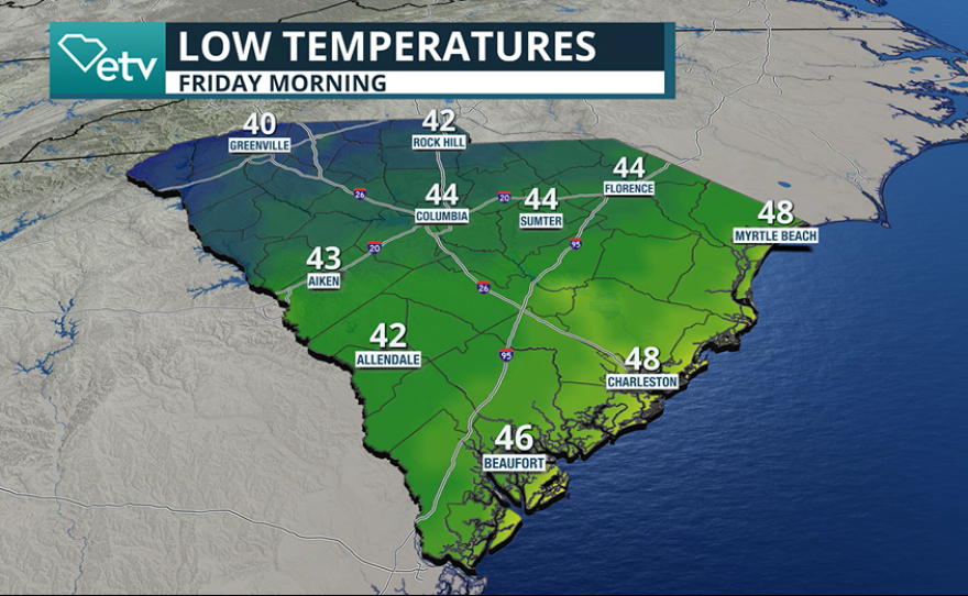
By Friday morning, temperatures are expected to be 5-10 degrees off their typical values, and highs will also finish 5-10 degrees below normal.
Typical late October highs across much of the region range from the upper 60s to mid-70s, but this round of cooler air could keep afternoon readings in the low to mid-60s.
For those partaking in trick-or-treating on Halloween, Friday could be the coldest holiday since 2012.
Typically, the warmest part of the day during this time of year occurs between 3 p.m. and 4 p.m., but by the time children begin making their rounds through neighborhoods, readings could be 7 to 12 degrees cooler than where they were before sunset.
Forecast models show the coldest air settling in by Saturday morning, when temperatures are expected to dip into the mid-30s along and north of the Interstate 85 corridor. Areas near Interstate 20 will hover closer to 40 degrees, while communities along Interstate 95 and the coast will remain slightly milder, with thermometer readings near the mid-40s.

The forecast readings in the Upstate will allow the first frost of the season to form when temperatures reach 36 degrees or below.
The upcoming cold snap is arriving right on schedule for late October.
Historically, communities in higher elevations near the North Carolina–South Carolina border often see their first frost during the final week of the month, with the first freeze a few weeks later.
Computer forecast models suggest that while temperatures may rebound slightly early next week, another cold front is likely to approach during the first week of November. That system could send temperatures back below average once again.

Peak fall foliage
Along with the cooler weather, much of the state will enter peak foliage season in November.
Depending on weather conditions, leaves typically remain on the trees for about two weeks after reaching their brightest colors.
AAA warns that falling leaves that collect on roadways can become as slick as ice, significantly reducing a vehicle’s traction.
By the final days of November, nearly the entire Palmetto State will have reached or passed peak color, with many trees not sprouting new leaves until late February or March.
