

The risk for severe weather increases on Saturday with a storm approaching from the southeast. Make sure to have at least three ways of receiving weather alerts this weekend as damaging winds and a couple of tornadoes could develop on Saturday.
For Saturday the entire state is under a marginal risk for flash flooding as there could be several rounds of storms moving mainly from west to east as a low-pressure system pulls plenty of heat and moisture through the state.

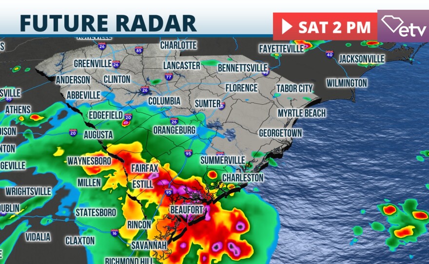
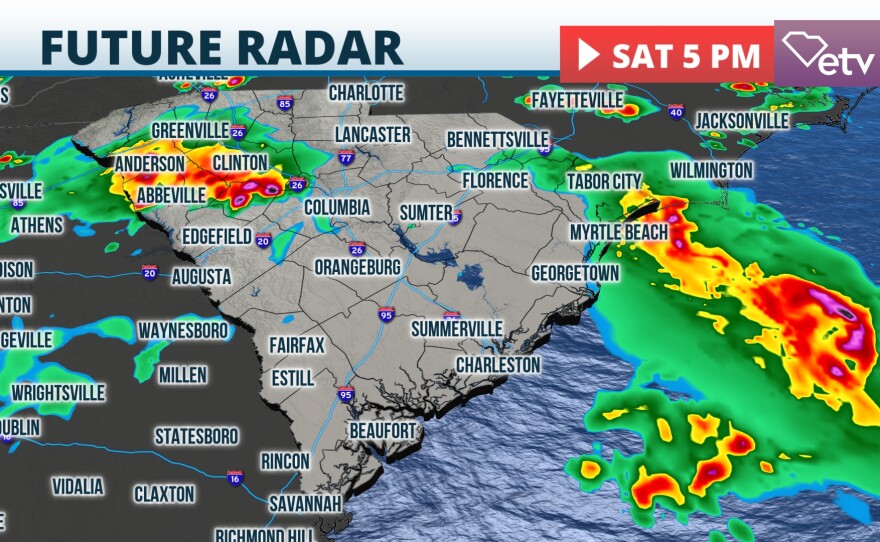
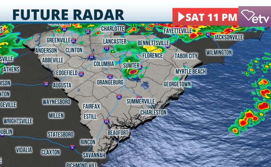
Timing and rainfall forecast
The storms will arrive by the late morning or early afternoon across the Lowcountry. In this region, the heaviest amount could be reached throughout the day, with some areas receiving over 2 inches, and some isolated spots receiving between 3 and 4 inches. Upstate could receive a few early morning hours, and any rainfall could develop some minor flooding as some regions have received heavier downpours and storms on Friday.

When will it end?
There seems to be a low trying to develop around the Lowcountry on Sunday. This could produce more storms moving through this area and over the Pee Dee throughout the day. The unsettled weather will mainly affect these regions, while most of the Midlands and Upstate will be under partly cloudy skies and a low chance for an isolated storm.
Better weather returns on Monday, with highs around the low-80s for Upstate and Midlands and in the upper-70s for the Lowcountry and Pee Dee. The southern half, especially along the coast, will have a low chance of an isolated storm on Monday.