-
An unusually strong cold snap is bringing freezing temperatures to much of South Carolina. Temperatures are expected to drop into the 20s and 30s.
-
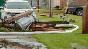
Severe storms rolled through South Carolina on Monday, producing sporadic wind damage.
-
Strong thunderstorms could impact parts of South Carolina late Sunday and on Monday as a powerful weather system moves through the region.
-
Flooding is the deadliest thunderstorm-related hazard in the U.S., and many of those deaths happen in vehicles. Meteorologist Leslie Hudson explains why South Carolinians should never drive through flooded roads and how simple preparation can save lives.
-
Flash flooding claims more than 140 deaths annually statewide, and this is just one of the three types of flooding that impact the Palmetto State.
-
Flooding remains one of South Carolina’s most dangerous weather threats. During Severe Weather and Flood Safety Week, meteorologist Leslie Hudson explains why the state is especially vulnerable to flooding and what residents can do now to reduce their risk.
-
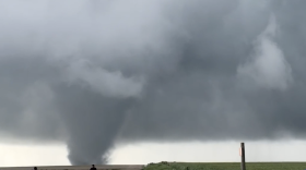
Tornado safety is the focus of Day 4 of South Carolina’s Severe Weather and Flood Safety Week. Knowing where to take shelter can make a life-saving difference when tornado warnings are issued.
-
Severe Weather and Flood Safety Week continues in South Carolina with a focus on staying connected during dangerous storms. Find out the tools and strategies that help families receive warnings quickly and communicate when severe weather threatens.
-
South Carolina officials are highlighting storm preparedness and communication during the state's weather safety week.
-
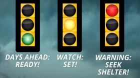
Severe Weather and Flood Safety Week continues across South Carolina — and today’s focus is one of the most important parts of storm safety: understanding the difference between watches and warnings.Digital meteorologist Leslie Hudson explains how those alerts work — and why knowing the difference can help you prepare before severe weather strikes.

Play Live Radio
Next Up:
0:00
0:00
Available On Air Stations


